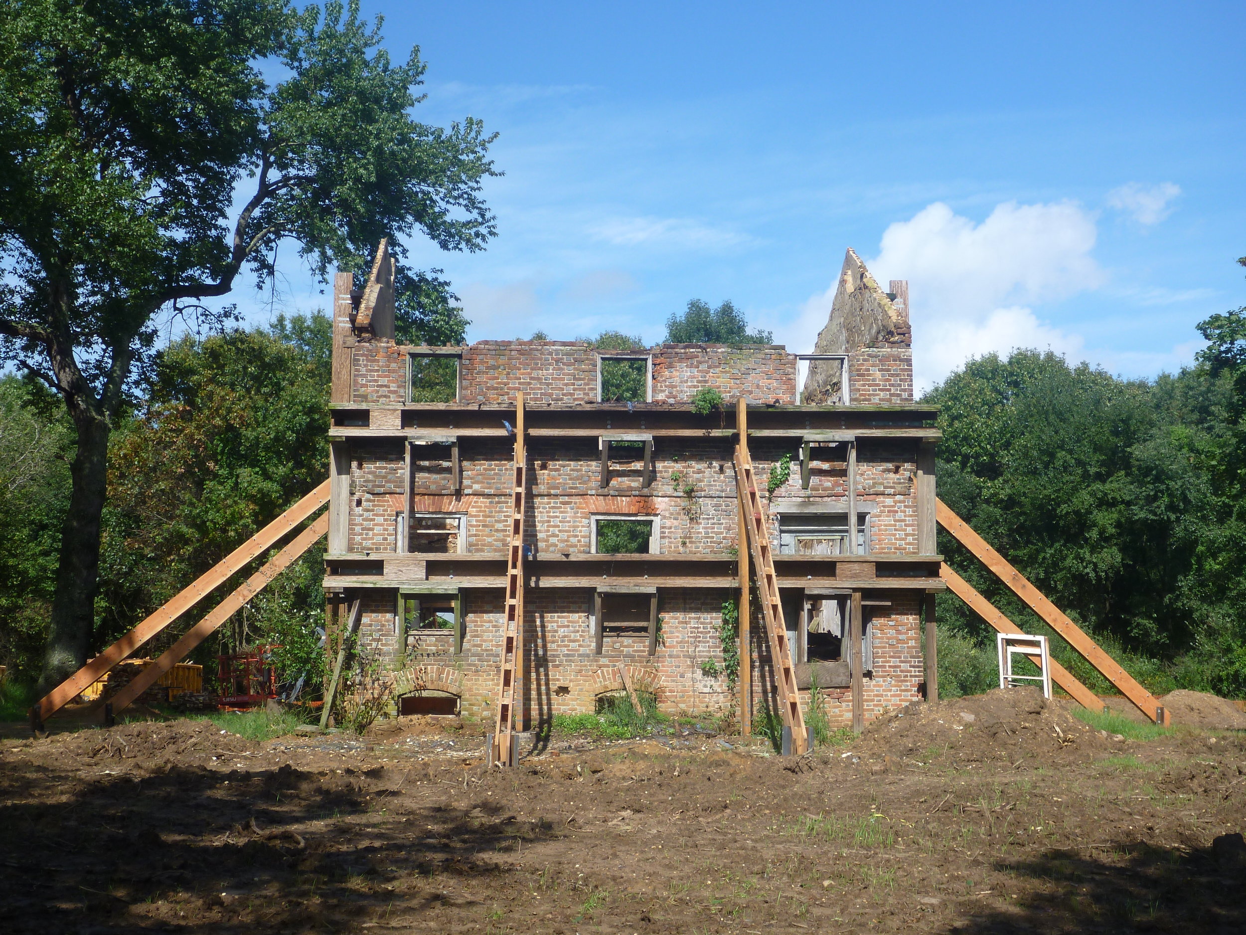
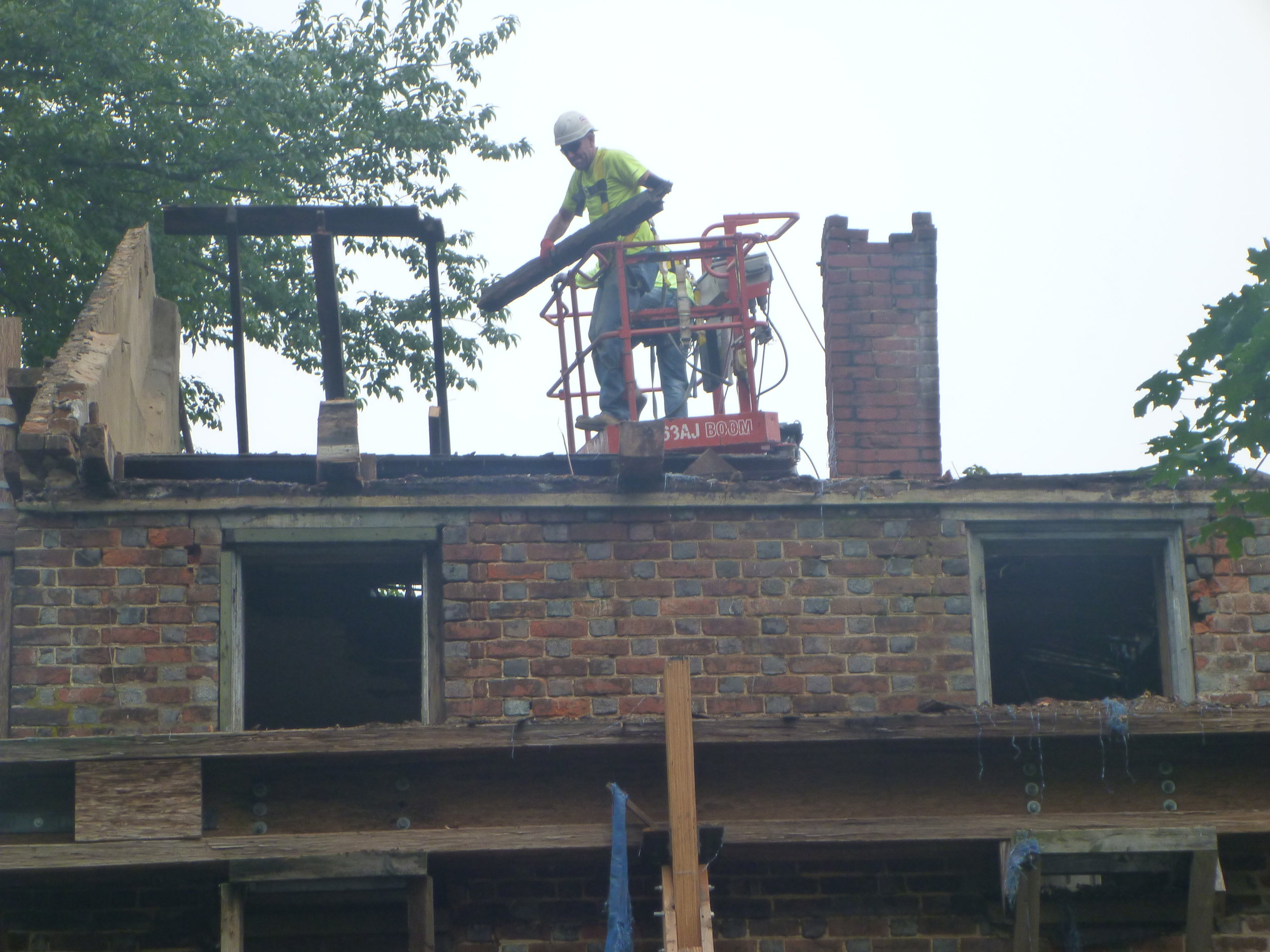
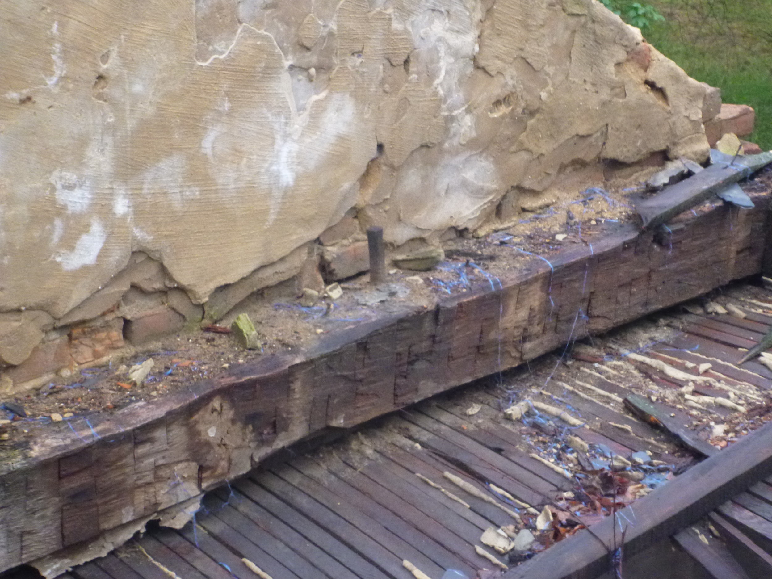
Hunter Research is working with Mills + Schnoering Architects for the County of Mercer in the creation of a stabilized ruin of the John Rogers House in Mercer County Park, New Jersey. This long-abandoned dwelling is a patterned-brick farmhouse typical of the colonial period in the Lower Delaware Valley. The date in the gable end of this house, picked out in vitrified brick, has long been the subject of debate. Does it read, “1751” or “1761”? In recent years the later date has been gaining greater acceptance. During the dismantling of the house interior several handhewn framing timbers were salvaged by archaeological monitors working in concert with the general contractor. Since several of these beams retained a “waney edge” they were considered good candidates for tree-ring dating. Samples were submitted for analysis to Dr. Daniel L. Druckenbrod, Associate Professor of Geological, Environmental and Marine Sciences at Rider University. According to Dr. Druckenbrod, the results conclusively show that the timbers analyzed were cut “between the late growing season of 1751 but before the start of the 1752 growing season.” Now we can finally put the debate over the age of this house to rest. 1751 wins!
Plumbing the Depths of Honey Hollow
Hunter Research has just recently completed for Mercer County a year-long study of the storied section of Baldpate Mountain known as Honey Hollow. For decades, this locale has been posited as a focus of free black settlement, with as many as 50 families supposedly living in close proximity to one another on the mountain’s wooded, rocky slopes. Through exhaustive research into primary documents, field survey and oral history, the African-American presence on Baldpate Mountain is shown to be relatively light, widely dispersed, and peaking in the late 19th and early 20th centuries. There was no nucleated black settlement per se on Baldpate Mountain and this idea apparently originated in the mid-20th century in the writings of popular folklorist Henry Charlton Beck. The report is available here.
Evan: Certified Drone Pilot
Last month, Evan Mydlowski, Hunter Research staff cartographer and surveyor, became the company’s first FAA-certified drone operator. When coupled with digital photography and videography, Evan and his drone will provide our firm with a vital new capability that we anticipate using on a routine basis to create georectified plan views for archaeological and architectural site surveys and large-scale area excavations. Evan has been putting the Hunter Research drone through its paces recently at the Monmouth University archaeological field school at Jockey Hollow in Morristown National Historical Park where he has been documenting excavations of the Continental Army’s encampments of the winter of 1779-1780.